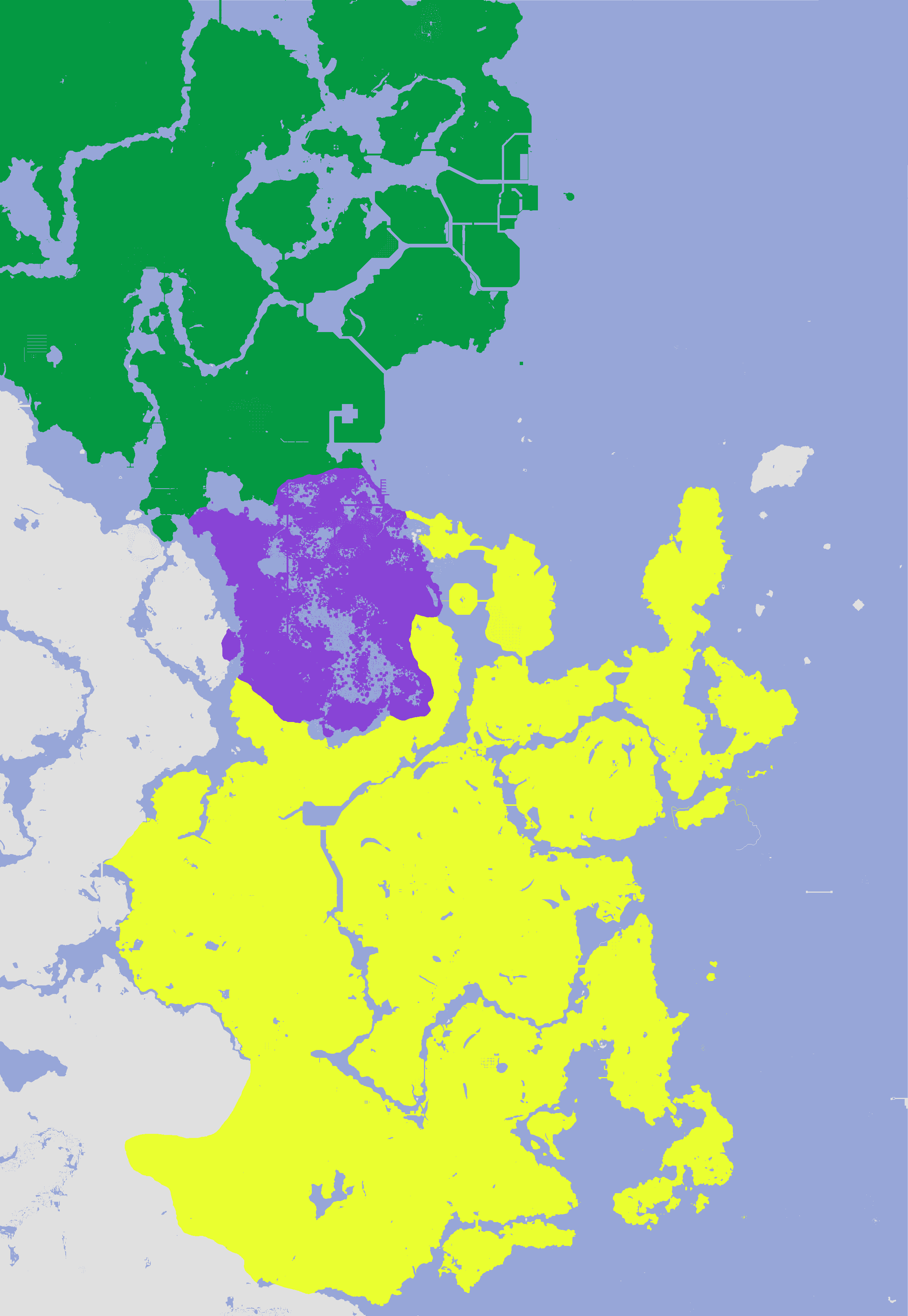
File:Sanéa geographic zones.png
Size of this preview: 413 × 599 pixels. Other resolution: 2,446 × 3,547 pixels.
Original file (2,446 × 3,547 pixels, file size: 202 KB, MIME type: image/png)
The first map showing the three geographic zones of Sanéa, accurate as to 13/06/2024
File history
Click on a date/time to view the file as it appeared at that time.
| Date/Time | Thumbnail | Dimensions | User | Comment | |
|---|---|---|---|---|---|
| current | 08:14, 13 June 2024 | | 2,446 × 3,547 (202 KB) | ToiletLad (talk | contribs) |
You cannot overwrite this file.
File usage
The following page uses this file: