File:Munda2024Oct26.png
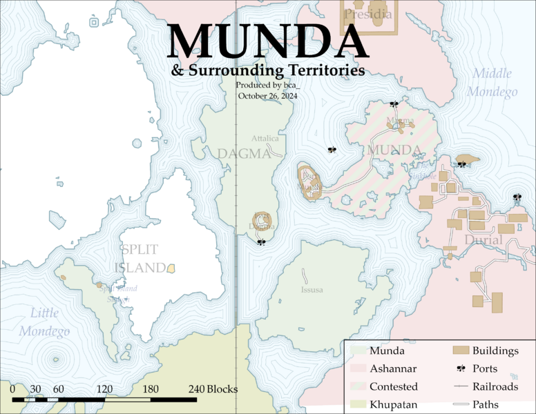
Size of this preview: 776 × 600 pixels. Other resolutions: 2,560 × 1,978 pixels | 3,300 × 2,550 pixels.
Original file (3,300 × 2,550 pixels, file size: 617 KB, MIME type: image/png)
Summary
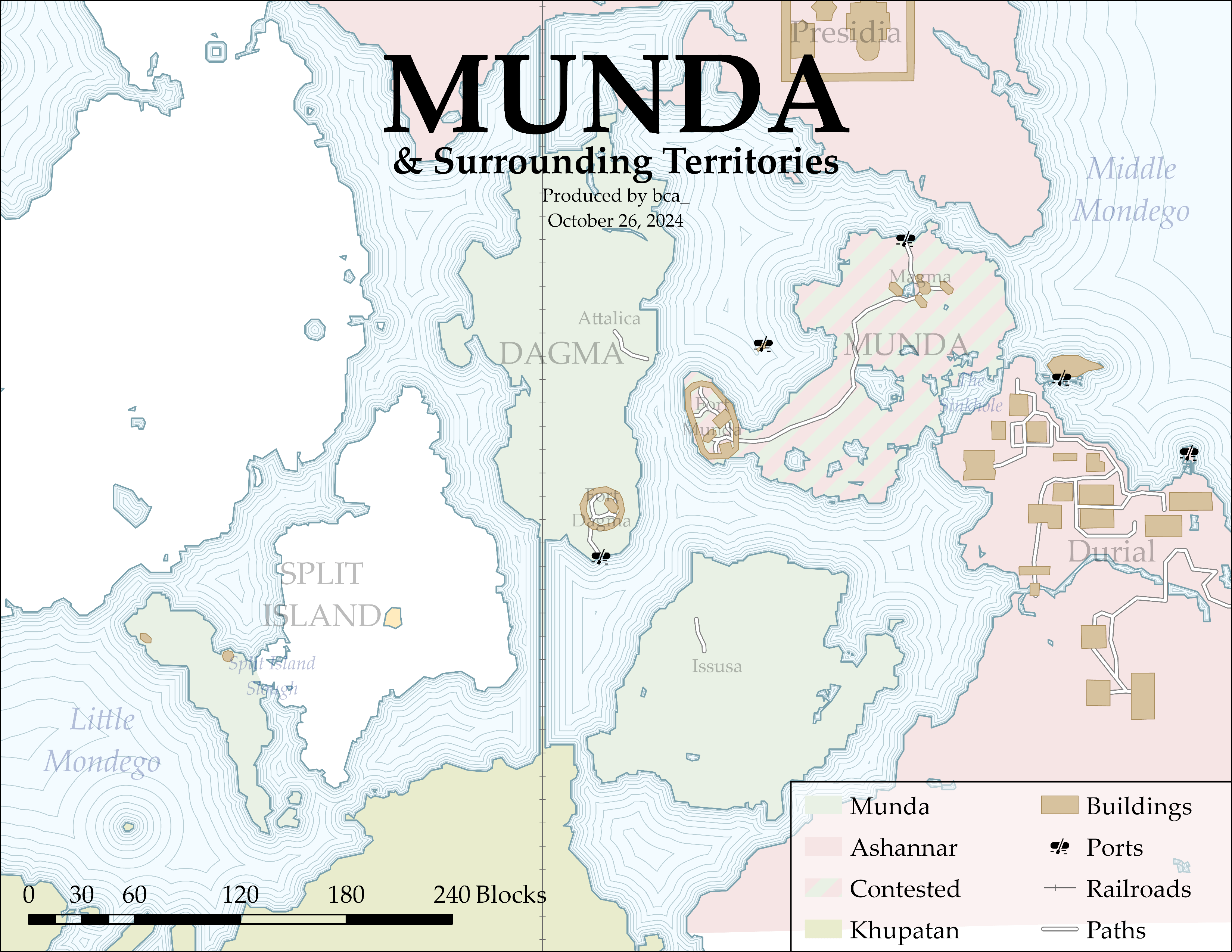
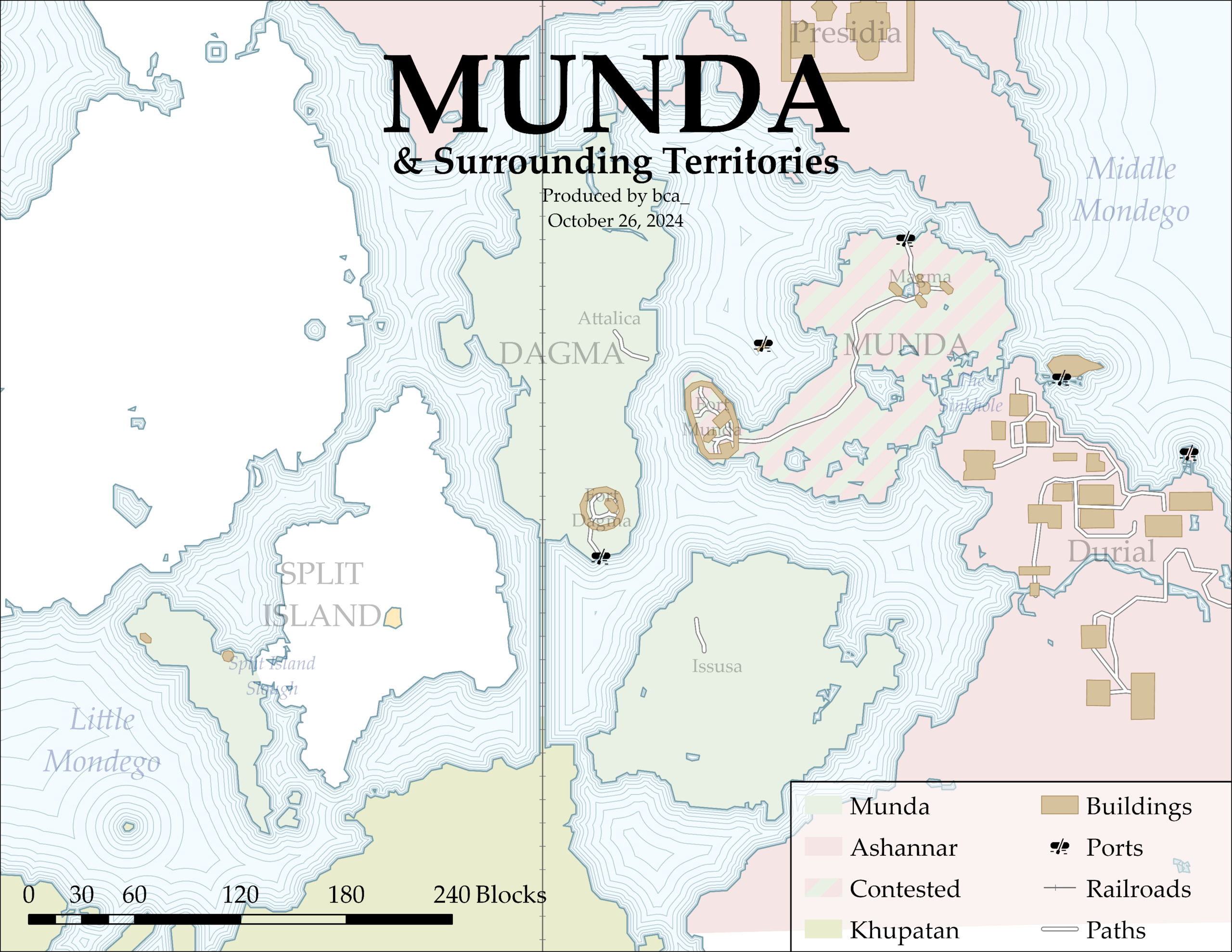
A map of Munda and Surrounding Territories made on October 26, 2024.
File history
Click on a date/time to view the file as it appeared at that time.
| Date/Time | Thumbnail | Dimensions | User | Comment | |
|---|---|---|---|---|---|
| current | 21:07, 2 February 2025 | | 3,300 × 2,550 (617 KB) | BCA (talk | contribs) | Smaller MP size |
| 21:04, 2 February 2025 | Error creating thumbnail: File with dimensions greater than 12.5 MP | 6,600 × 5,100 (1.15 MB) | BCA (talk | contribs) | A map of Munda and Surrounding Territories made on October 26, 2024. |
You cannot overwrite this file.
File usage
The following page uses this file: