File:MundaInfoboxMap.png
Jump to navigation
Jump to search
No higher resolution available.
MundaInfoboxMap.png (230 × 230 pixels, file size: 8 KB, MIME type: image/png)
Summary
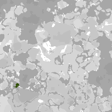
A map of the settlement of Munda, showing its location relative to north–central cinder.
File history
Click on a date/time to view the file as it appeared at that time.
| Date/Time | Thumbnail | Dimensions | User | Comment | |
|---|---|---|---|---|---|
| current | 21:18, 26 May 2024 | | 230 × 230 (8 KB) | BCA (talk | contribs) | A map of the settlement of Munda, showing its location relative to north–central cinder. |
You cannot overwrite this file.
File usage
The following page uses this file: